
Network Visualization Engine
Project Description
The aim of NETVUE is to design an intuitive realtime visualization system using a simple unified metaphor—the geographic map—to readily visualize network activity of interest.
The proposed visualization system will be used in conjunction with a distributed Intrusion Detection System (DIDS) to rapidly identify network intrusions such as port scans, denial-of-service attacks, and topological attacks in mobile networks.
In the News
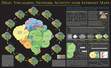
New papers and poster!
IMap: Visualizing Network Activity over Internet Maps.
[J. Fowler, T. Johnson, P. Simonetto, M. Schneider, C. Acedo, S. Kobourov, and L. Lazos. IMap: Visualizing Network Activity over Internet Maps. In VIZSEC, 2014.]
Network Anomaly Detection Using
Autonomous System Flow Aggregates.
[T. Johnson, and L. Lazos. Network Anomaly Detection Using Autonomous System Flow Aggregates. In GLOBECOM 2014.]
 Paper
Paper
[T. Johnson, and L. Lazos. Network Anomaly Detection Using Autonomous System Flow Aggregates. In GLOBECOM 2014.]
Visualizing Graphs as Maps with Contiguous Regions.
[S. Kobourov, S. Pupyrev, and P. Simonetto. Visualizing Graphs as Maps with Contiguous Regions. In EuroViz, 2014.]
Paper
[S. Kobourov, S. Pupyrev, and P. Simonetto. Visualizing Graphs as Maps with Contiguous Regions. In EuroViz, 2014.]